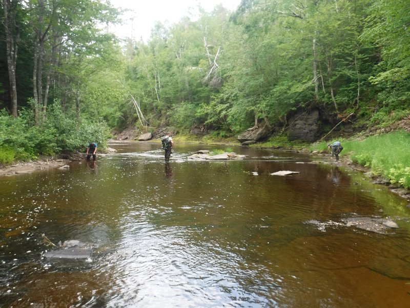
Aquatic Habitats
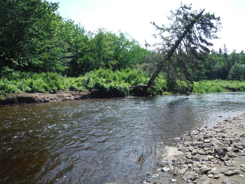
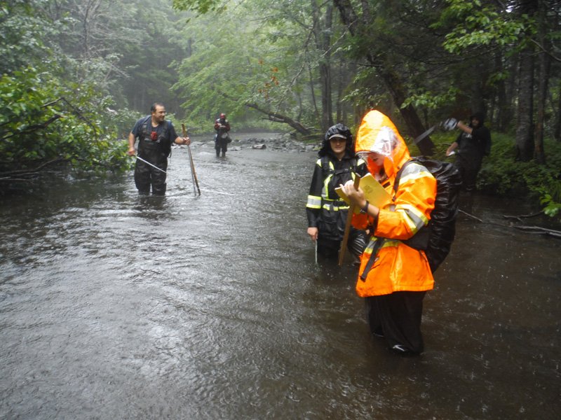
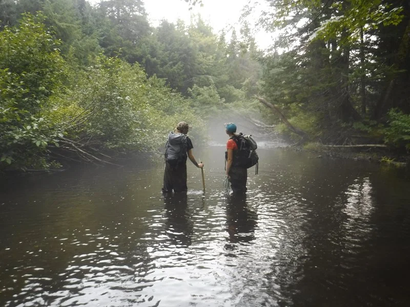
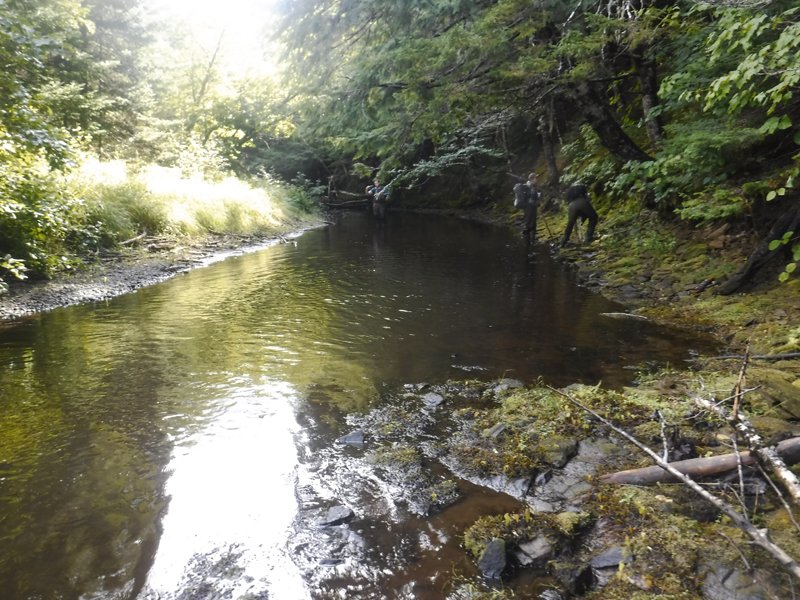
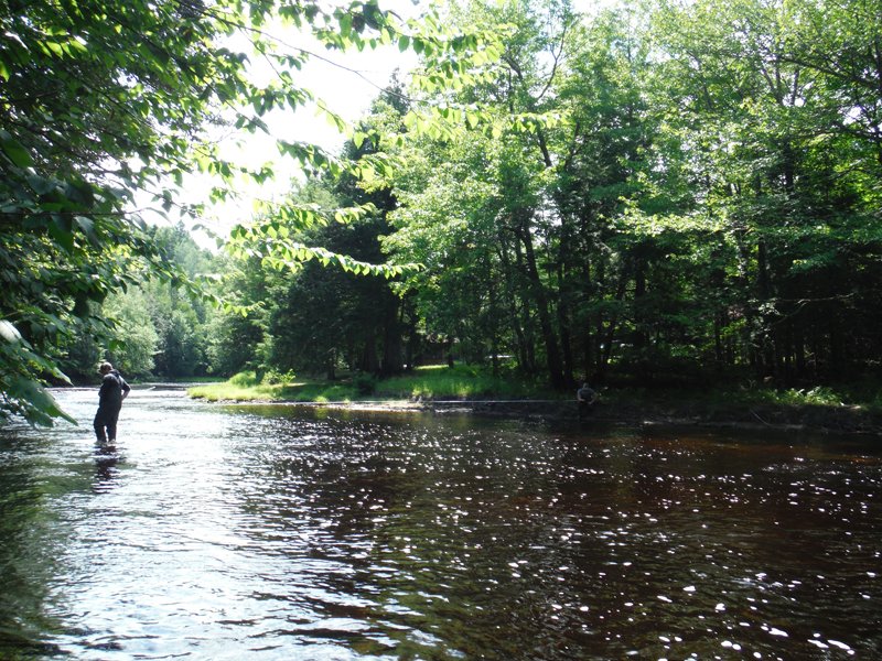
In 2018, this project, funded by the New Brunswick Wildlife Trust Fund and the Coastal Restoration Fund, enabled us to make an inventory of habitats on three streams to determine various environmental aspects. The Kouchibouguacis River was inventoried over a distance of approximately 5.2 KM having 70 sections; 3.6 KM of the Tweedie Brook was inventoried encompassing 144 sections; and on the Black River, 71 sections over the course of 2.6 KM was inventoried.
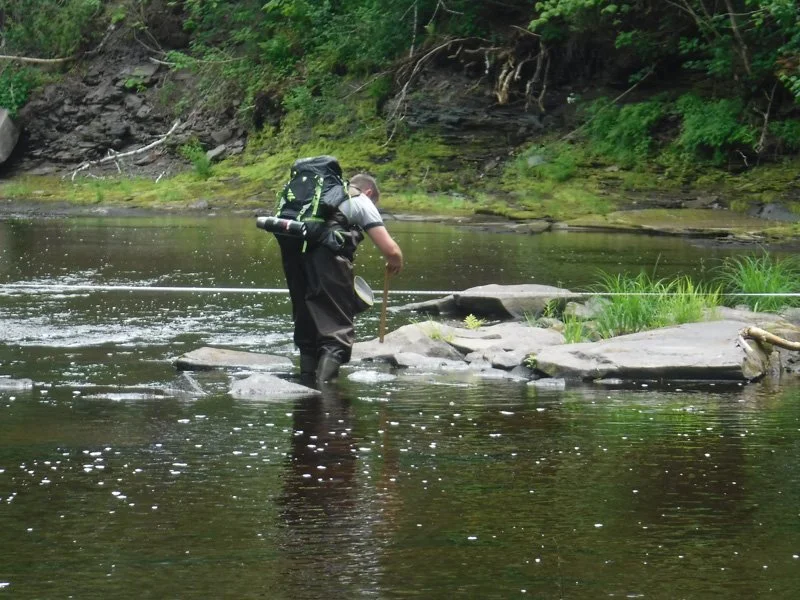
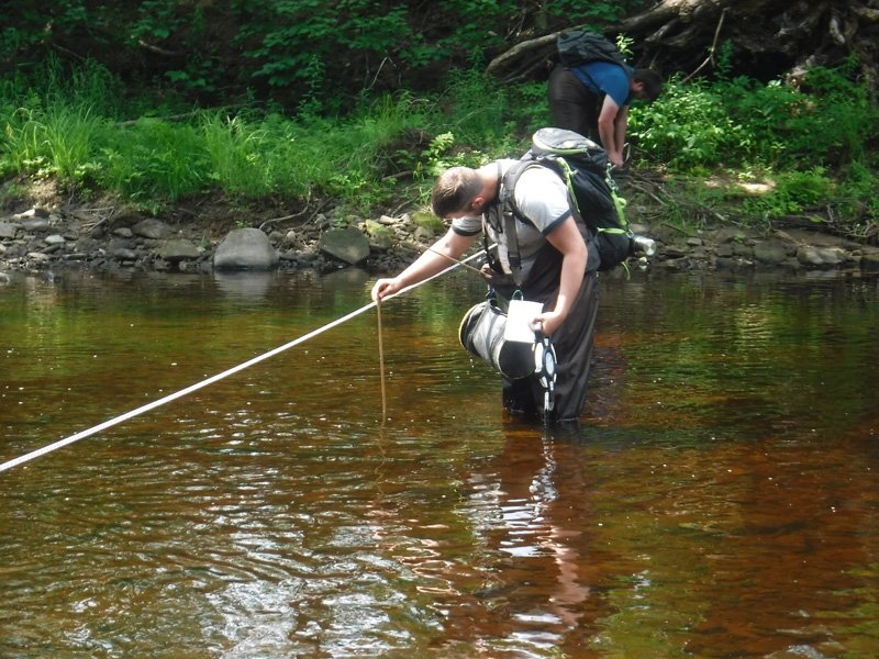
Results from the habitat inventory this year on the Kouchibouguacis River show: an estimated average wetted width of 16.3 meters, an average full width watercourse edge estimated at 20 meters, bank full water depth estimated at 43 centimeters, and average depth of wet stream was estimated at 32 centimeters. The averages of the habitat types (visually estimated) of the total inventoried section were calculated as follows: riffles 25.7%, runs 53.7%, pools 17.6%, and others 3%.
Results from the habitat inventory on the Tweedie Brook show: an estimated average wetted width of 8 meters, an average full width watercourse edge estimated at 10.3 meters, bank full water depth estimated at 47 centimeters, and average depth of wet stream was estimated at 27 centimeters. The averages of the habitat types (visually estimated) of the total inventoried section were calculated as follows: riffles 31.8%, runs 47.9%, and pools 20.3%.
Results from the habitat inventory this year on the Black River show: an estimated average wetted width of 6.7 meters, an average full width watercourse edge estimated at 8.7 meters, bank full water depth estimated at 43 centimeters, and average depth of wet stream was estimated at 24 centimeters. The averages of the habitat types (visually estimated) of the total inventoried section were calculated as follows: riffles 30.1%, runs 49.9%, and pools 20%.
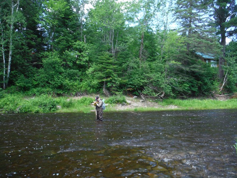
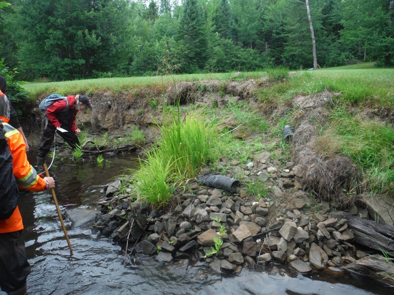
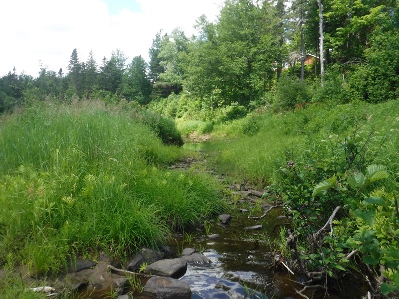
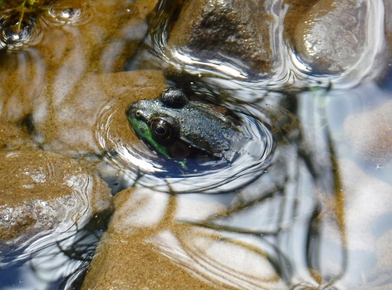
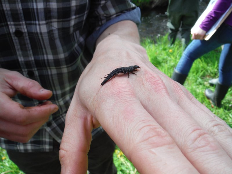
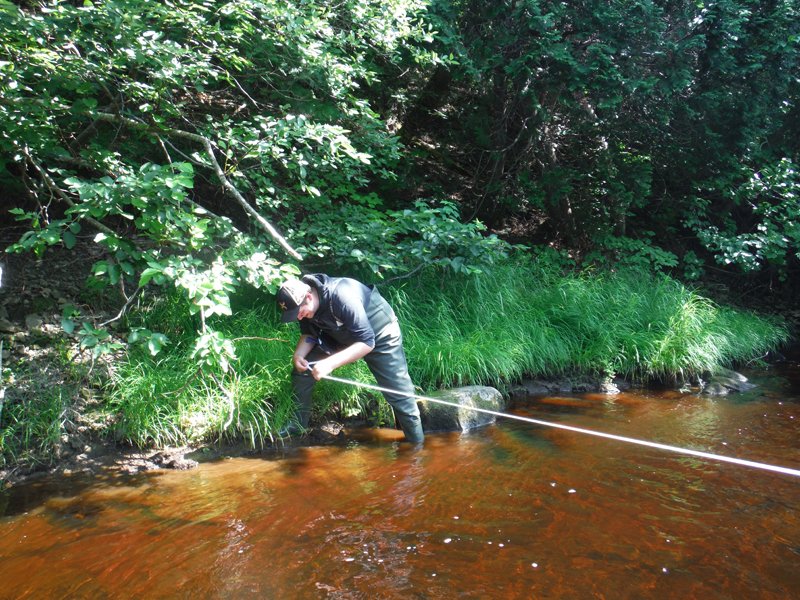
Through this inventory, it was possible to determine the presence of different potential sources of pollution by conducting an inventory of point and diffuse sources of pollution in the buffer zone (within 30 meters perpendicular to the banks). Observations targeting potential environmental problems identified as attributes of watercourse crossings (ex. cattle access, off-road vehicle), point sources (ex. erosion, waste, ditches leading to watercourse, Water), non-point sources (ex. agricultural, forestry, residential practices), attributes that make up changes to the watercourse (ex. bridge with abutments, culvert, artificial dam, removal of trees in the buffer zone) Indicators of a possible deterioration in water quality (abundance of aquatic plants, odor, built-in substrate), water clarity and water color. Relevant observations were also made: the presence of unusual plants or animals (bird, mammal and plant), cultural use (ex. aesthetic place, cemetery), recreational uses (angling, Launching ramp), various geomorphologies and other characteristics in a natural watercourse (ex. beaver dam, groundwater source, wood debris).
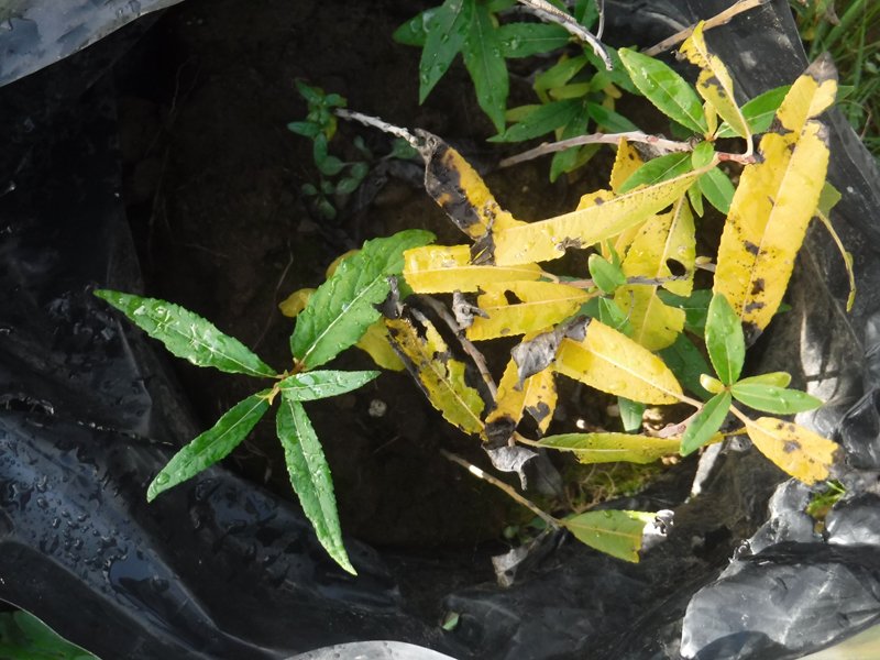
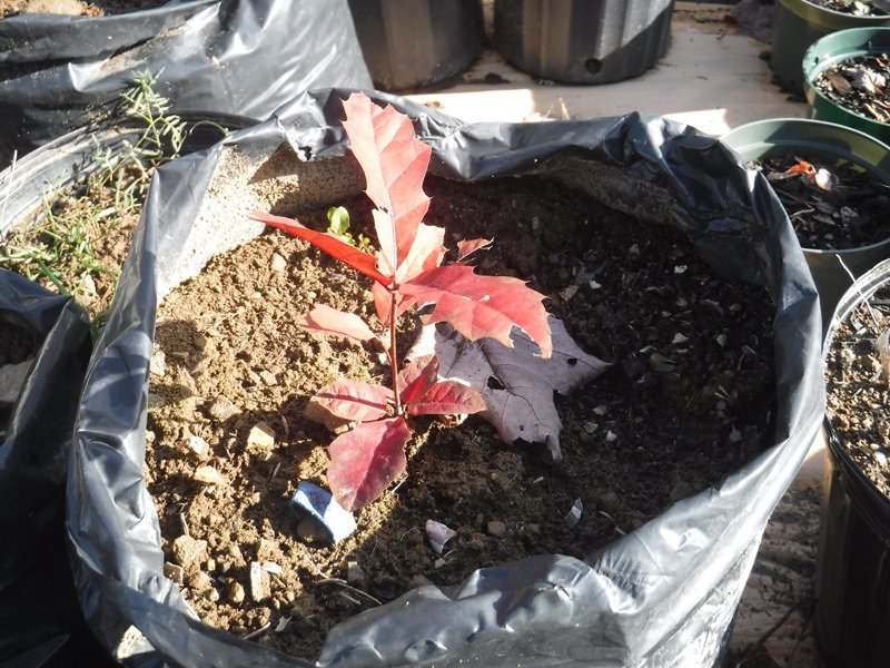
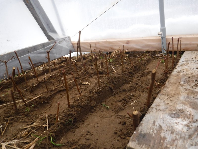
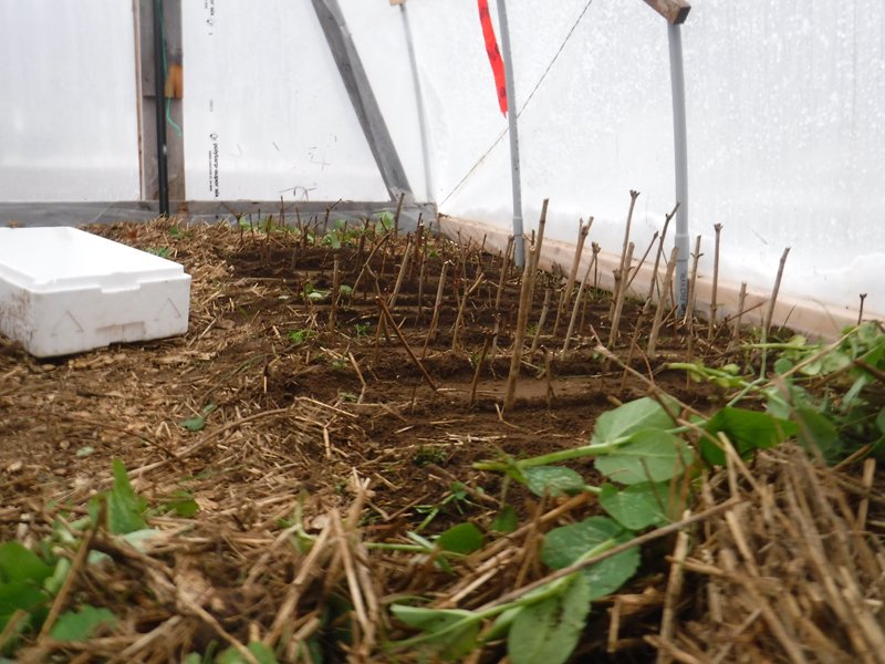
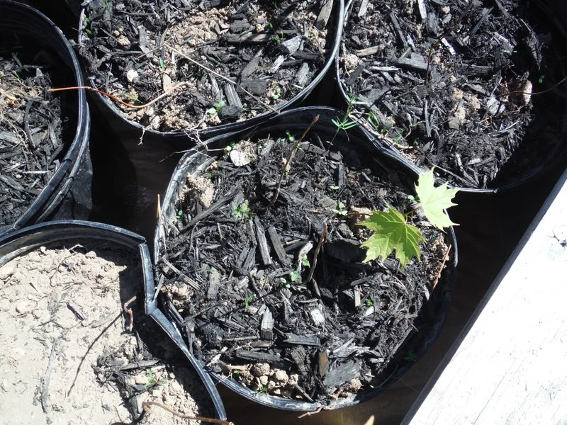
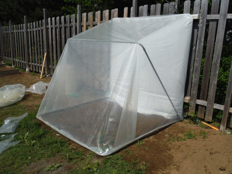
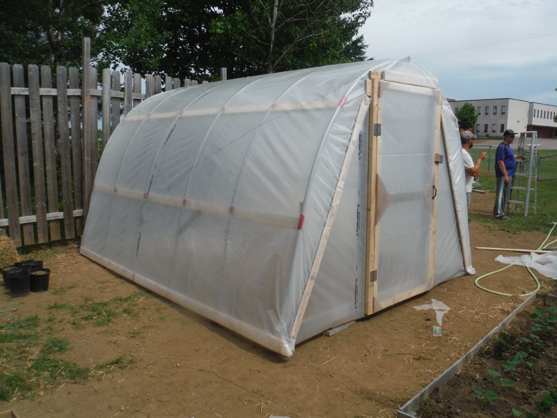
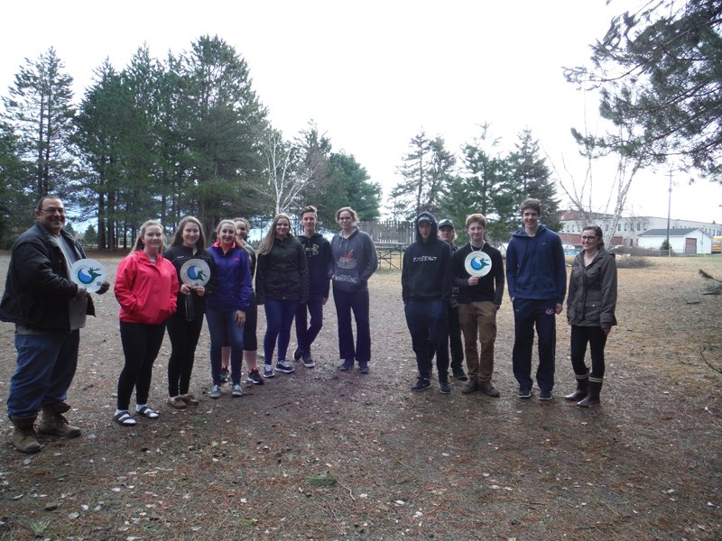
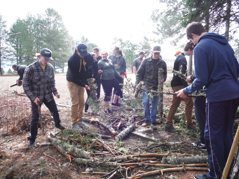
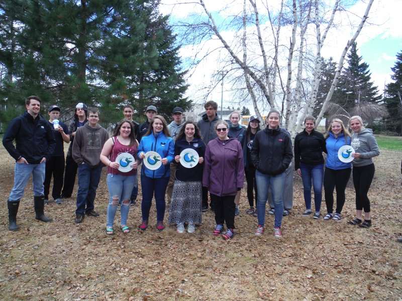
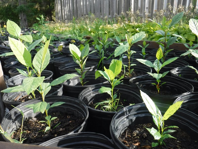
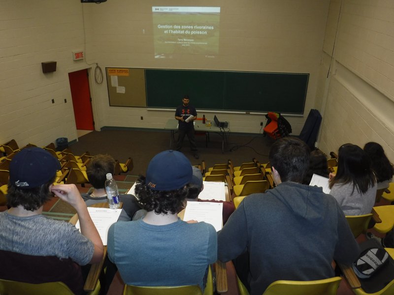
The education component included in this project allowed us to offer masterful presentations and educational field trips with the students of the Mgr. Marcel-François Richard school of Saint-Louis-de-Kent and with the students of the École Secondaire Assomption in Rogersville. These school activities provided students with the opportunity to use various horticultural tools and techniques to produce shrubs (indigenous to the region) that will eventually be used to restore riverbanks and riparian areas. Students also had the opportunity to make their own aquatic habitat inventory while learning their role and importance. This project also allowed us to offer kiosk sessions in order to inform the local inhabitants how to use their environment in a responsible way in order to preserve it for future generations.